Transit

Transit services to OHSU includes TriMet, Portland Streetcar, C-TRAN and Portland Aerial Tram. All public transit is ADA accessible.
TriMet, Streetcar and C-TRAN all use a fare system called Hop. The Tram is not part of the Hop system.
Park and Rides offer free parking at over 60 transit locations. Find a park and ride here.
Explore stops, routes and more by transit agency or OHSU destination below.
Transit agencies
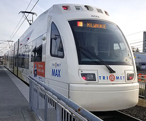
TriMet
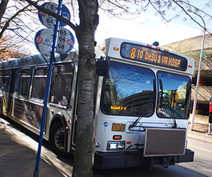
TriMet provides bus, light rail and commuter rail throughout the Portland metro region including Marquam Hill, South Waterfront and OHSU sites throughout Multnomah, Washington and Clackamas counties.
TriMet Fare:
People with an OHSU badge can acquire a Hop card from OHSU at a significant discount by visiting Campus Access and Commute Services.
See OHSU rates for people with an OHSU badge here.
Portland Streetcar
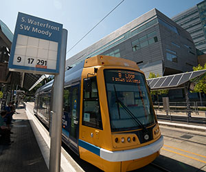
Portland Streetcar provides streetcar service throughout Portland's central east and west sides including South Waterfront and Portland Aerial Tram.
Fare:
An OHSU badge and/or OHSU Hop Card is valid fare on Streetcar.
C-TRAN
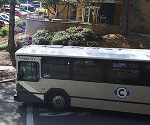
C-TRAN Express bus provides peak hour bus service from Vancouver, WA to the Portland metro region including Marquam Hill. C-TRAN additionally provides local service in the Vancouver, WA metro area.
Fare:
People with an OHSU badge can acquire a C-TRAN Hop card at Campus Access and Commute Services.
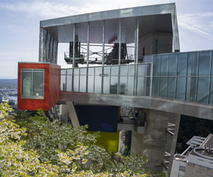
Aerial Tram

Portland Aerial Tram travels between Marquam Hill and South Waterfront. The South Waterfront terminal is serviced by TriMet bus, light rail and Portland Streetcar. The Marquam Hill terminal is serviced by TriMet and C-TRAN bus.
Visit gobytram.com for hours, closures and more information.
Fare:
An OHSU badge is valid fare on Portland Aerial Tram.
Patients and their visitors may request courtesy tickets from their clinic or any OHSU concierge desk.
See fare options and purchase: gobytram.com/fare
OHSU Destinations
-
Tram
Marquam Hill is accessible via a five-minute ride onssss the Tram. See South Waterfront transit connections on this page to take transit to South Waterfront and then the Tram to Marquam Hill.
Destinations by building
Select a building from the dropdown list to open a page with: The recommended transit stop, current arrival times, an interactive map and trip planner.
-
Tram
The South Waterfront Campus is accessible via a five-minute ride by tram. See Marquam Hill transit connections on this page to take transit to Marquam Hill and then the Tram to South Waterfront.
Routes to South Waterfront
Take TriMet and Streetcar lines to South Waterfront:
Portland Streetcar (all lines)
Additional transit lines are accessible via the Hooley Pedestrian Bridge at Gibbs Street. The bridge connects from S.W. Gibbs and Kelly in the Lair Hill Neighborhood to S.W. Moody and Gibbs at the Tram. Hooley Bridge in Google Maps.
The following TriMet lines are walkable from the Gibbs and Tilikum bridges:
Destinations by building
Select a building from the dropdown list to open a page with: The recommended transit stop, current arrival times, an interactive map and trip planner.
-
TriMet's Willow Creek Station is 0.5 mile south of West Campus or about a ten minute walk.
Willow Creek Station stop information
Willow Creek is served by the following TriMet lines:
-
OHSU has over a dozen neighborhood locations around the region accessible by transit. Use TriMet's full system map or, for destinations outside the TriMet system, plan a transit trip with Google Maps.